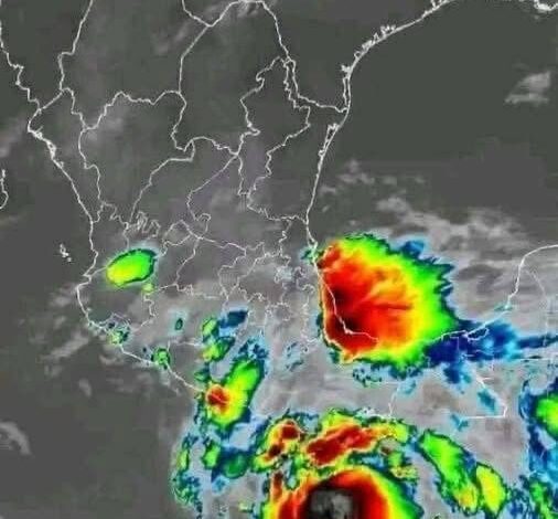
High-Risk States
Florida remains the U.S. state most frequently hit by hurricanes. Since 1851, it has recorded roughly 120 hurricane landfalls, including 37 major storms rated Category 3 or higher. Its long coastline, warm surrounding waters, and exposure to both Atlantic and Gulf systems make it especially vulnerable year after year.
Other States Facing Serious Risk
Florida is not alone. Texas ranks next, with 66 recorded hurricanes, 19 of them major. Louisiana has experienced 58 total hurricanes, including 18 major storms, while North Carolina has also seen 58, though only seven reached major hurricane strength. South Carolina, Alabama, Georgia, Mississippi, Virginia, and even New York also face meaningful hurricane threats, especially in coastal and low-lying areas.
Coastal Hot Spots
Certain regions are more likely to experience repeated hurricane impacts than others. South Florida typically faces a major hurricane about every 14 to 19 years. North Carolina’s Outer Banks are especially exposed, with major storms affecting the area approximately every 5 to 7 years. Along the Northern Gulf Coast, major hurricane impacts tend to occur about once every decade, making preparedness a constant concern for residents and local governments.
Storm Surge Threat
Storm surge remains one of the most dangerous hurricane hazards for coastal communities. While every coastline faces some level of surge risk, the Gulf Coast is particularly vulnerable because of its flat, low-lying terrain. Water can be pushed far inland, causing catastrophic flooding even before the strongest winds arrive. Major cities with significant storm surge exposure include Miami, New Orleans, Tampa, New York, and Savannah.
Inland Flooding Dangers
Hurricane danger does not end at the shoreline. Inland flooding is often the deadliest effect of tropical systems, accounting for roughly 60% of hurricane-related deaths. Heavy rainfall can overwhelm rivers, drainage systems, and low-lying communities hundreds of miles from the coast. Areas such as central Texas have seen how dangerous slow-moving or weakening storms can become once they dump massive amounts of rain inland.
Climate Change Impact
Warming trends are changing the geography and intensity of hurricane risk. As storms become stronger and retain power farther inland, more communities away from the coast may face dangerous winds and flooding. By mid-century, nearly one-third of Americans could be exposed to hurricane-force winds, including people in inland states such as Tennessee and Arkansas. The share of storms reaching major hurricane strength has also increased sharply, rising from about 10% in the 1980s to nearly 40% today.
Resources and Tools
Preparedness begins with understanding local risk. FEMA’s National Risk Index helps communities evaluate hazard exposure, expected losses, and social vulnerability. NOAA’s storm surge maps provide another essential tool, showing where coastal flooding may occur during hurricanes. Together, these resources can help residents, planners, and emergency officials better prepare for the growing risks posed by hurricanes.